By Staff Writer
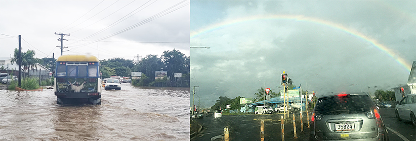
Unpredictable rainfall that pours from the skies intermittently between bursts of sunshine is little surprise to the Met Office that had forecast the conditions months earlier.
Many who are familiar with the current conditions normally regard February as the worst month during the wet cyclone period from October to March.
Assistant CEO Afaese Luteru Tauvale of the Ministry of Natural Resources and Environment, who heads the Mulinu’u metrological office, is not surprised by the awkward weather.
“Heavy rainfall and flooding were predicted for this time of the year with the forecast of low cyclone risk,” Afaese explained referring to January–February as high-risk cyclone months.
Afaese said the current weather pattern is similar to last year and the cycle has remained almost the same in the last 6-7 years.
The usual flood prone areas of Apia around the Fugalei, Taufusi, and Saleufi streets have been sloshing under water slowing down traffic as they wade across water logged roads in recent days.
An evacuation location alert was circulated during the week for families affected by flooding in urban Apia, who maybe in need of a place to stay.
The evacuation locations on standby are at the Faleata Sports Complex gymnasiums, ADRA Hall at Lalovaea and the NUS Compound at To’omatagi.
The Land and Transport Authority has been monitoring closely the river fords and other road crossing over fast flowing waters and the risks to the travelling public.
Safety warnings have been issued for travel along the east coast road.
Flooding water overruns on the road and the ford crossing at Eva were under close LTA watch for travel to and from Apia.

